GIS consulting for local government, utilities and engineering firms[email protected]Serving clients across the United States
InfraSpatialSolutionsRequest a consultation
Projects

Work on the record

Client names, URLs and staff accounts are replaced. The screens, the counts and the way the work was done are real. Our own software products are listed alongside client work.
Automation

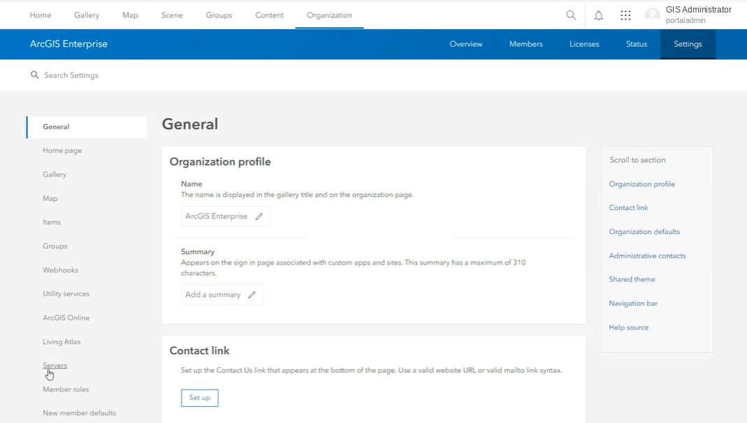
Server & Portal Usage Reporting

Scheduled Python pulls service usage from the REST Admin API into summary reports that show what is used and what can be retired.

Details available on request
Data Engineering

SRID Alignment Toolkit

Desktop tools that export SDE datasets, repair coordinate system mismatches and push fixes back to production.

Details available on request
Enterprise GIS

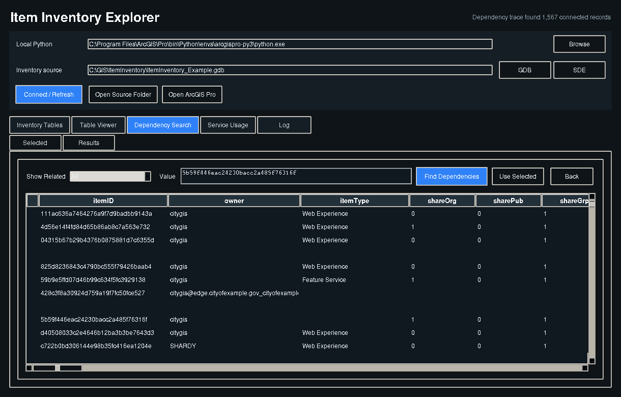
Disaster Recovery Dependency Mapping

Scripts that build dependency diagrams and comparison reports for backup and recovery data feeds.

Details available on request
Automation

Automated Multi-Sheet Map Series

Spatial map series with dynamic text and scripted export, so every exhibit sheet comes out the same.

Details available on request
Water Resources

Land Cover to Model Parameters

Weighted-area logic that carries land cover parameters into engineering models without exploding geometry.

Details available on request
Water Resources

Flood Exposure at Building Level

Raster analysis at building footprints to quantify flood depth and compare existing and proposed conditions.

Details available on request

Have a similar problem?

Most of these projects started as a short conversation about something that was not working.

Request a consultation[email protected]